ISS Aerospace identify current table levels via Group Penetrating Radar to pinpoint areas with high ground water levels which contribute to local flooding issues.


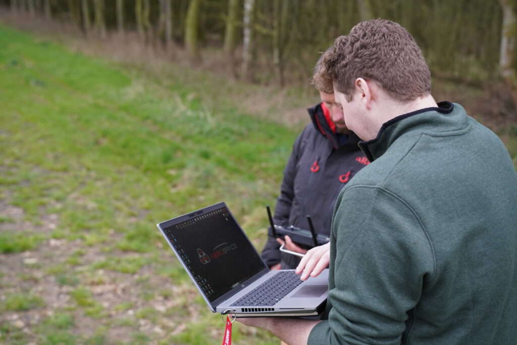
Last week, EarthTrust welcomed ISS Aerospace onto their land in Little Whittenham, Oxfordshire for their most recent mission.
Collaborating with Buckinghamshire Council, their objective was to identify current water table levels via Ground Penetrating Radar. By analysing this data, ISS Aerospace are attempting to pinpoint areas with high ground water levels, which contribute to local flooding issues.
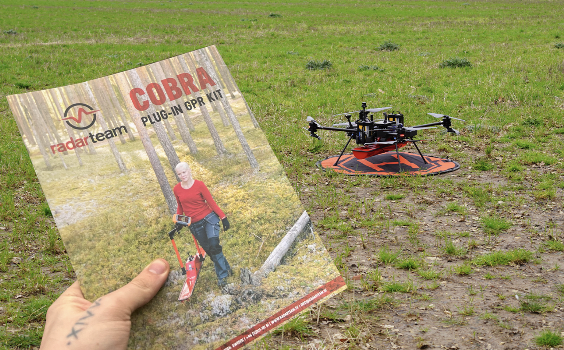
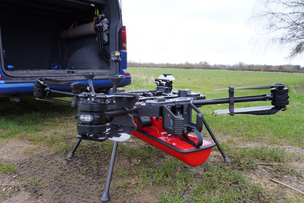
Traveling to site over the course of three days, the team used the Sensus L UAV that was equipped with a Radarteam CobraGPR payload, and conducted over 50 flights at various altitudes ranging from 3m to 20m, and at various speeds to gather data for analysis by Jacobs, aiming to determine the most accurate parameters for data collection.
ISS Aerospace initially tested and collected data over PSD (Permeable Superficial Deposits) fields, and are intending to conduct further flights over Chalk land in the near future to compare data variations across the different soil types.
This approach enables them to better understand groundwater dynamics and improve flood management strategies for the council.


